Publishing Geospatial Data
Step 1: Uploading Geospatial Data
If you haven't already, you will need to upload a geospatial dataset to the catalog and ingest it to make it available over an OGC Web Service. See how to make geospatial data accessible over API on how to do this.
Step 2: Granting Access to your data
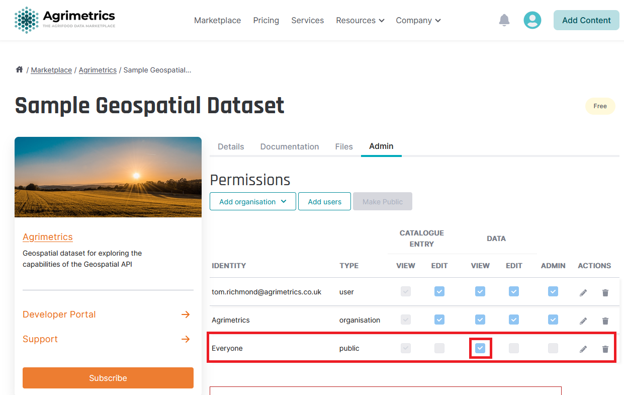
For users to be able to access your data via an OGC Web Service, you should ensure the dataset is correctly permissioned.
Geoservices API
For a user to be able to access your data via the Geoservices API (WMS), the data must be publically available. This requires the public identity specifically to be granted a] - [ - w] per permission.

Updated 5 months ago
