Viewing Geospatial Data
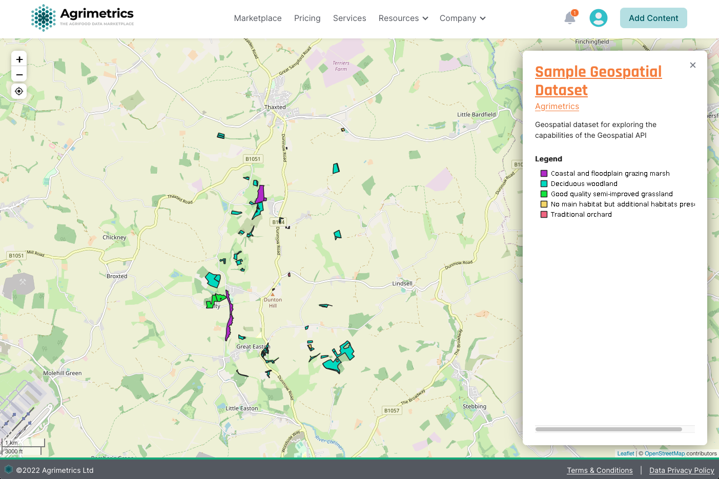
In this guide, we will view a layer of sample habitats through the Marketplace.
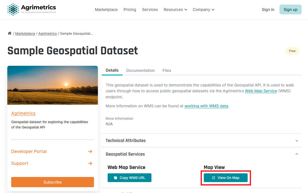
On the details tab of a public geospatial dataset, you can open the Geospatial Services section and click 'View on Map'. This will open a new tab with the explore view where you can then view the data on an interactive map.
Map View
The WMS map view is currently only available for public datasets, ie you will not get Map View button if your dataset in not publicly available.

This will open a new tab with the explore view where you can then view the data on an interactive map.

Updated over 1 year ago
